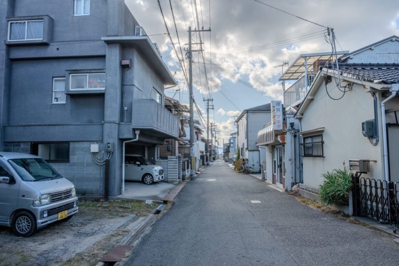
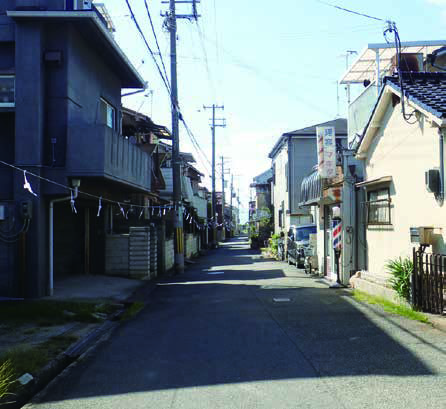
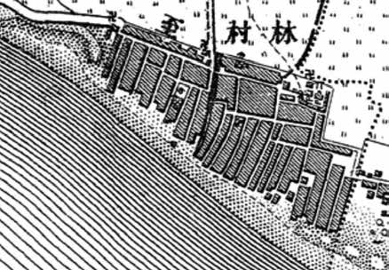
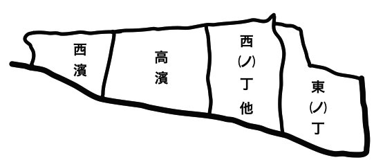
Old Hayashi Village was between the Hama Highway and the Seto Inland Sea, and had many roads called the Suji at right angles to the sea like other fishing villages. Each entrance of the houses faces the roads. The Takahama River separates Hayashi Vitaga into the Hayashi area and the Takahama area. They say that the Hayashi area was the fishing village and the Takahama area was the farming and fishing village. The Hayashi area roughly consists of Higashino-cho and Nishino-cho. Higashino-cho consists of Daito-cho, O-machi and Shishinage-che, also people there make large-scale groups for the net fishing and the octopus pot Fishing. Nishino-cho and others organize Hayasni 2 chome and the people there practice the hook fishing in a relatively small-scale. Each of Sujis has the ritual spot of the small shrine which is the center of residents’ organization of the fishing group of each cho. We see the strong local contacts of the fishing group tied with not only the ritual but also the local economy and society in the fishing village of the layout like strips of paper.
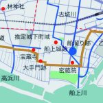
Akashi heritage-map “Funage・Hayashi” 2019