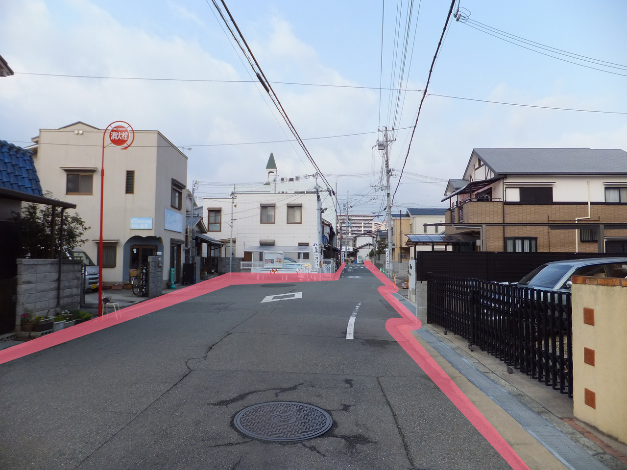
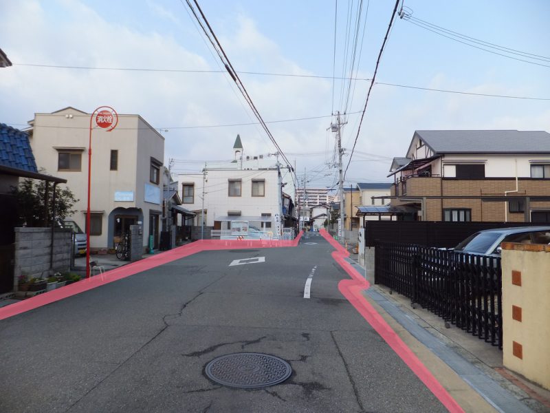
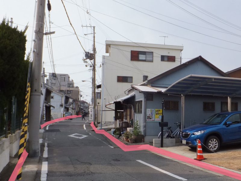
Okura was an old important transportation hub and after the Saigoku Highway was improved in Edo period it flourished as Okuradani stage. The Highway and its sideroads pass from east to west and many alleys from south to north cross them.
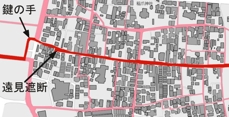
The Saigoku Highway reaches the building at the west end of Okura and turns right and just left. That is called Tomi Shadan (visibility shutdown) as a trick to prevent the enemy from advance and set at the entrance of the town serving as a stage or the castle town. The L-shaped road is specially called kagi-no-te (shape of key). The limb of the Highway in the town zigzagged widely, so they could attack enemies from the place behind the buildings. This was a kind of Tomi Shadan.
Akashi heritage-map “Okura” 2014

It is still remaining along the Saigoku Kaid? (Western National Highway).