大蔵は古くから交通の要所でしたが江戸時代に西国街道が整備され大蔵谷宿として栄えました。東西を貫く街道と平行に脇道が、またそれらを南北につなぐ多くの路地が張り巡っています。
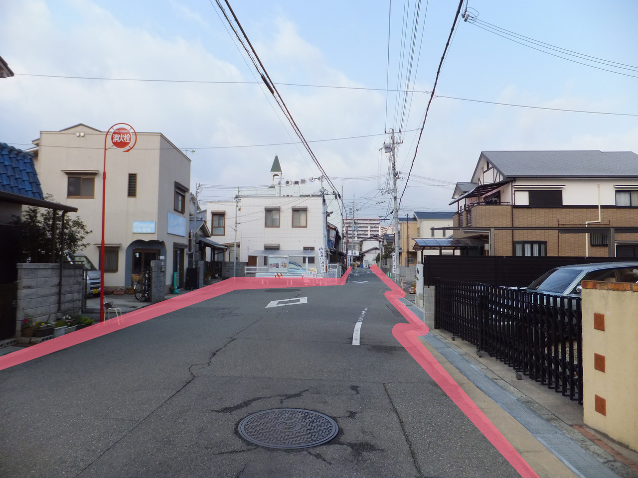
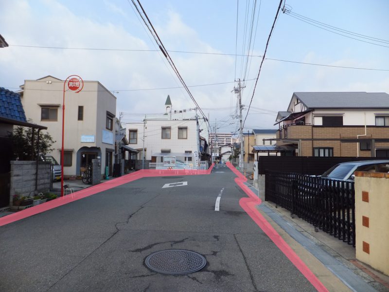
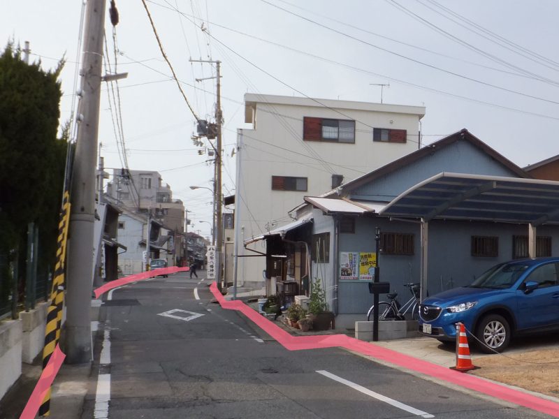
大蔵がの西端は建物がせり出して見通しが悪く、その先は街道がL字状に曲がります。これは「遠見遮断」といい敵の進軍を阻害するため宿場や城下の入口に設けられた仕掛けで特にL字状の通りは「鍵の手」と呼ばれています。また敷地が道に対してノコギリの歯状になっているのは建物の陰に隠れて敵を攻撃する工夫でこれも遠見遮断といえます。
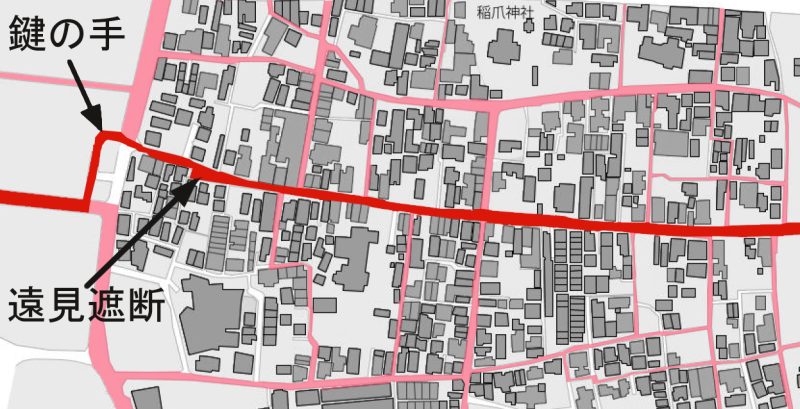
明石ヘリテージマップ『大蔵』2014

現況 現在も西国街道沿いに残存しています。