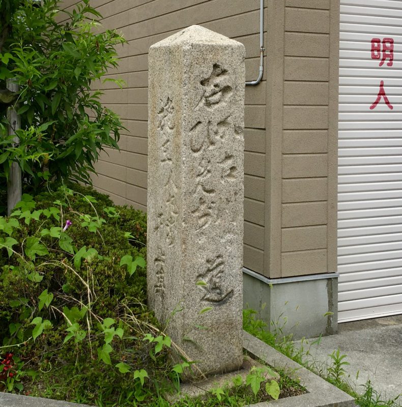
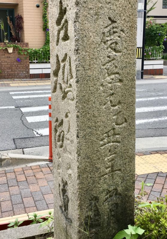
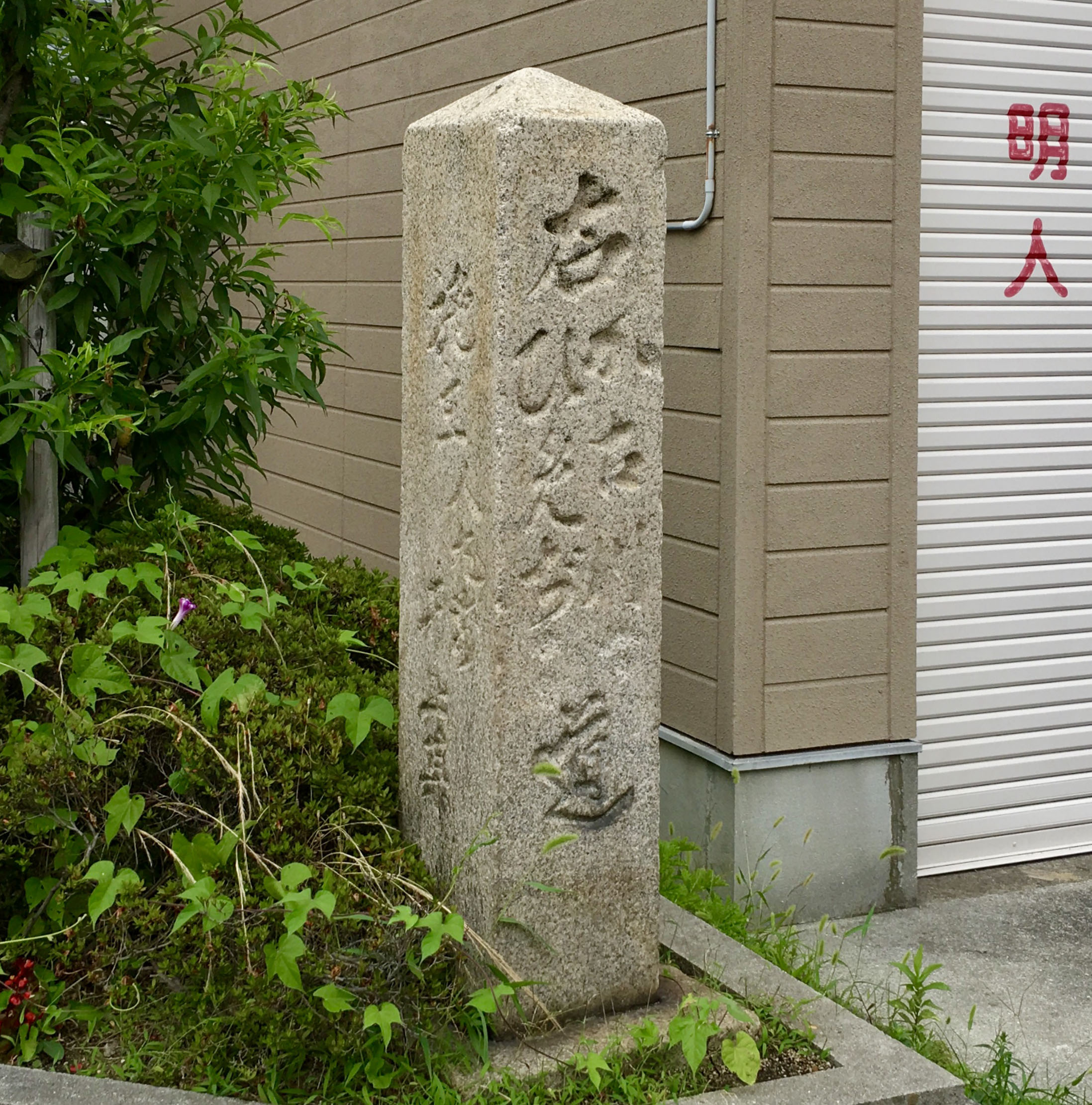
子午線標柱の横に建つ道標には「左ひやうご大阪道、右加古川ひめぢ道」と刻まれています。建立された慶応元(1865)年時では、この道標は宿場町と城下町との境でした。
やがて明治になると大蔵谷村と明石村の村境の道標となりました。
明石ヘリテージマップ『人丸』2018
変化なく存在
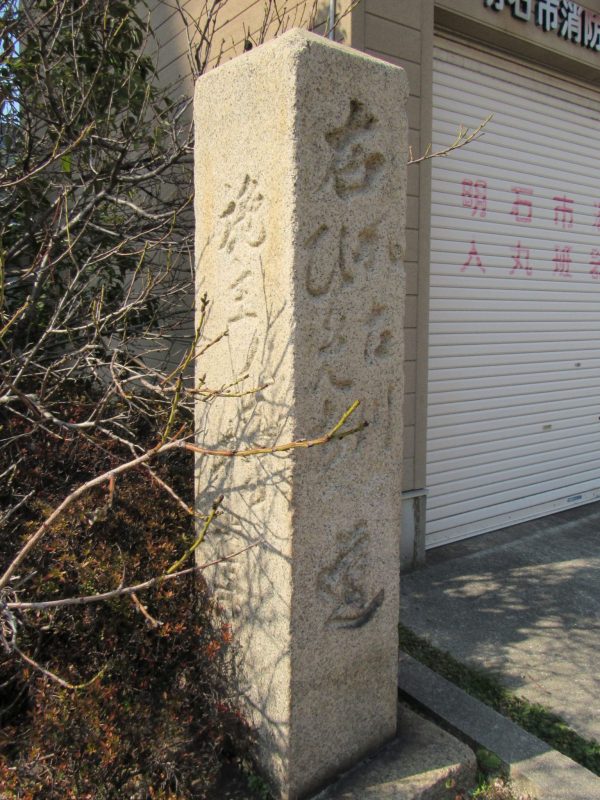
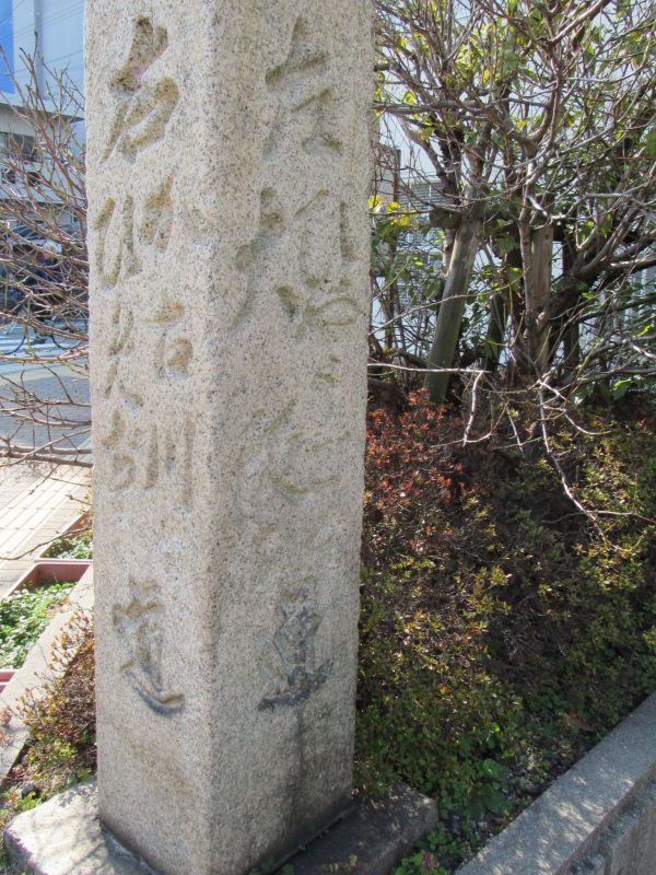
子午線標柱の横に建つ道標には「左ひやうご大阪道、右加古川ひめぢ道」と刻まれています。建立された慶応元(1865)年時では、この道標は宿場町と城下町との境でした。
やがて明治になると大蔵谷村と明石村の村境の道標となりました。
明石ヘリテージマップ『人丸』2018
変化なく存在