
人丸辺りのまちは、海岸段丘を境に山側と海側にはっきりと分かれています。中世以降は海側の街道は整備され、漁師町、宿場町、城下町から官庁街、商業地として発展していきました。
一方、山側は瀬戸内気候と台地が相まって水耕には適さない土地でしたが、近世以降のため池の普及により農地が広がりました。
明石城ができるまでの集落を見ても、大蔵谷村、大明石村、中之庄村はいずれも海側で、太寺は大蔵谷村字太寺と呼ばれていました。
経済力も海側の方が大きいので海側の裕福な人たちが、山側の開発を進めて行く場合が多かったと推測されます。大蔵町の人達が、朝霧や東野町、太寺に農地を持っていることが多く見られます。
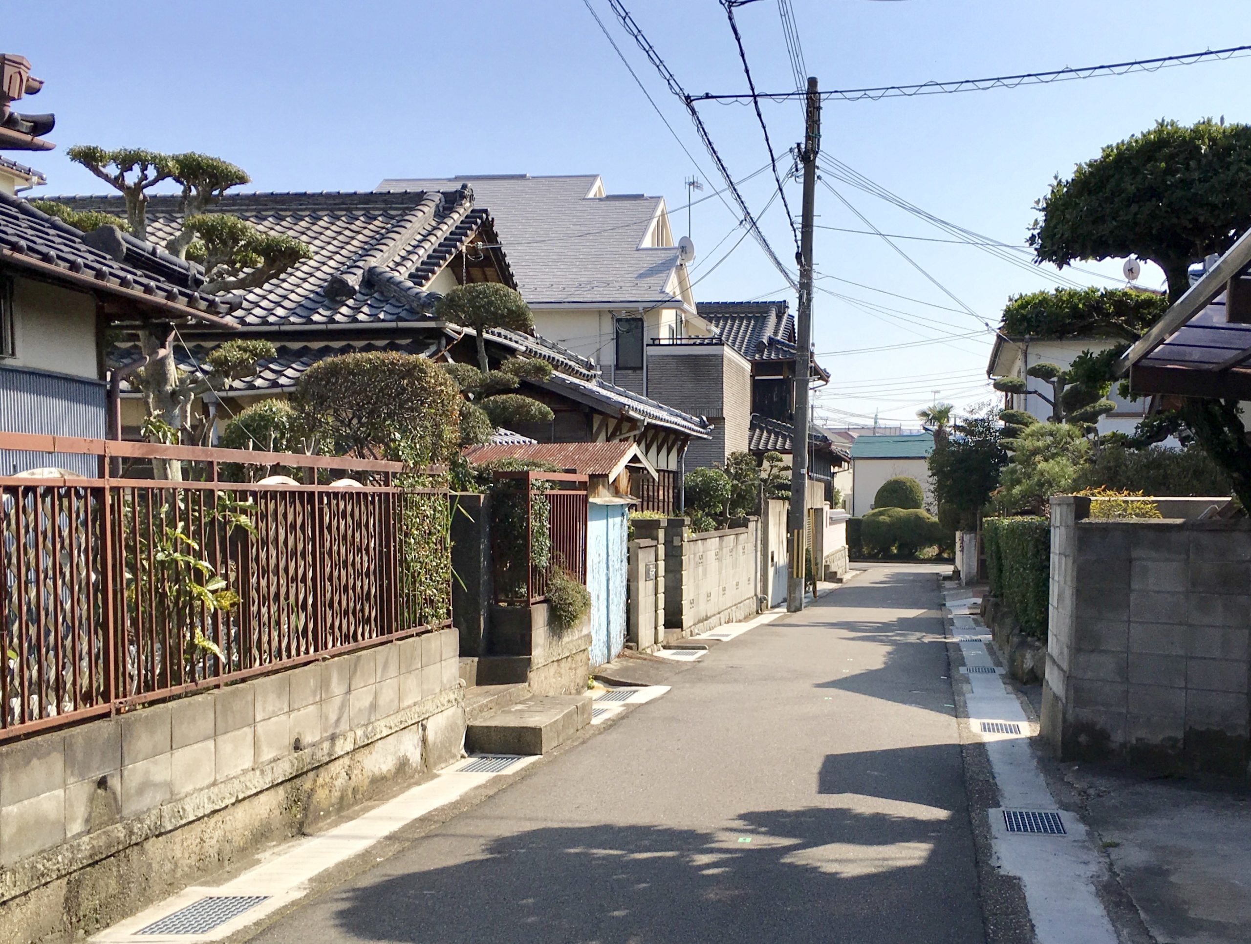
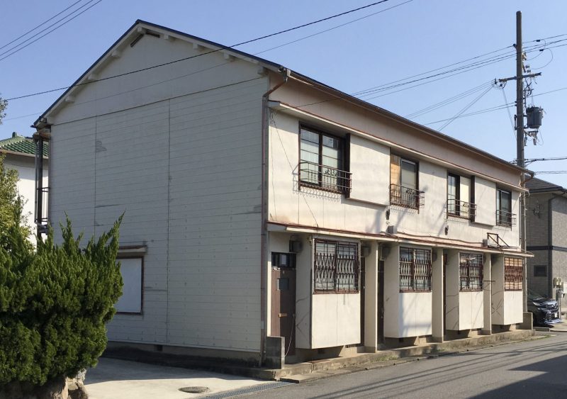
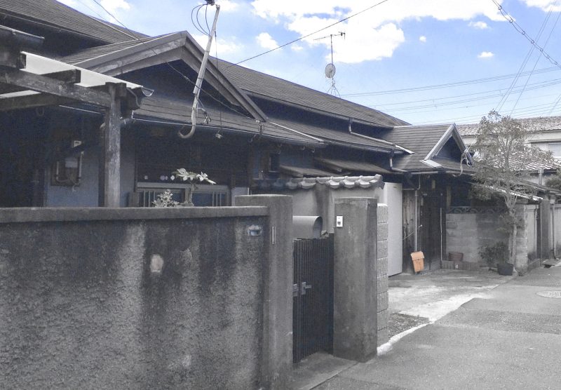
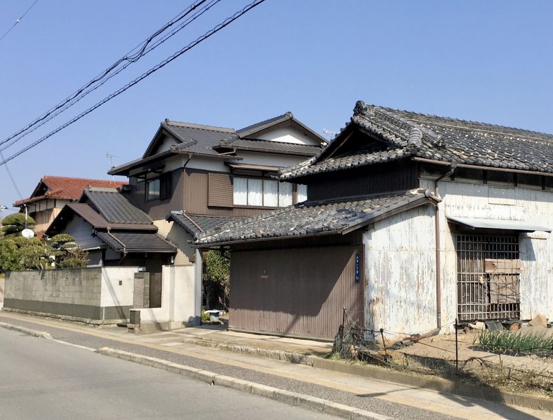
大正から昭和初期にかけては、事業に成功した人の住宅建設がブームとなり、交通至便で見晴らしの良い上ノ丸、太寺が宅地として見直されるに至りました。
昭和2年には明石市で初めての土地区画整理事業が上ノ丸・太寺ではじまり、山側は益々宅地としての価値を高めていきました。
明石ヘリテージマップ『人丸』2018