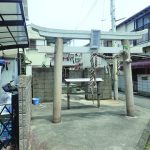
【まめ知識03】漁村の町並み

城下/jouka

明石城下の計画に伴い、港から明石川の南側一帯に水主かこが集められ、当津村新浜と呼ばれる漁村が形成されました。
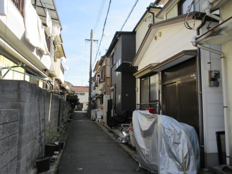
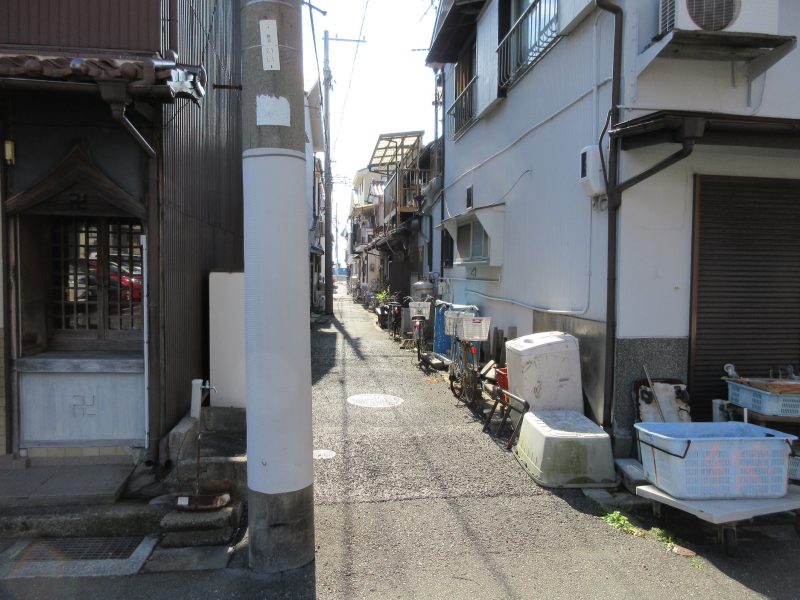
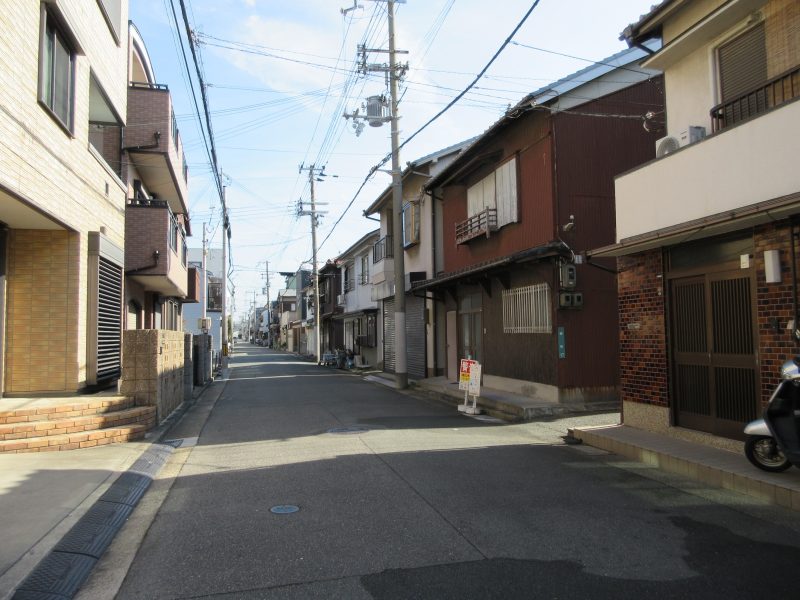
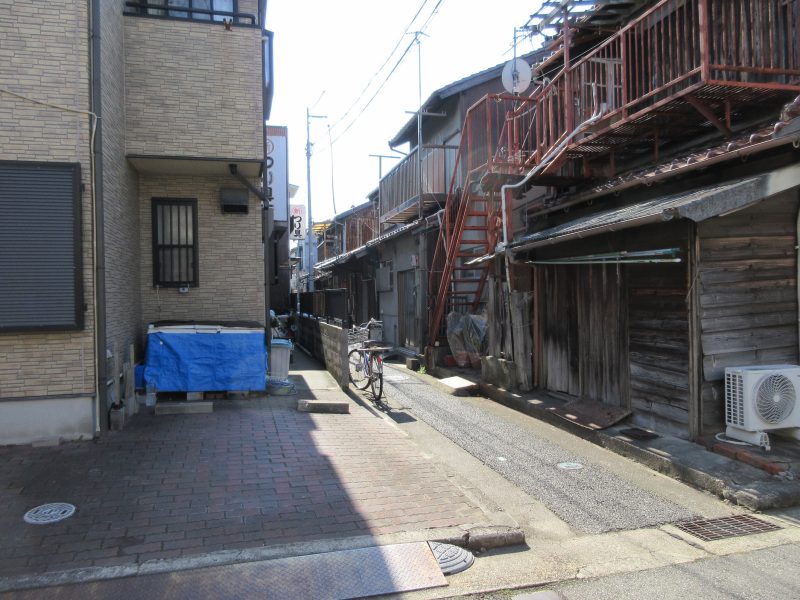
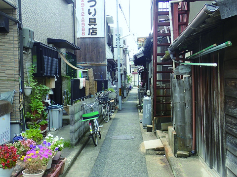
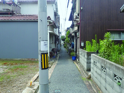
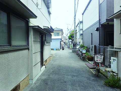
この地域は戦災にあいましたが昔の敷石に沿って再建されたため複雑に木造住宅が密集して建ち並ぶ、かつての町割まちわりが大きく変わることのない地域となっています。
海に向かって縦断する通りがいくにも並ぶ縦割りの町並みは、海との関係を第一に大切にする漁村ならではといえます。
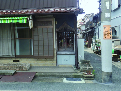
漁業という共通の目的で結ばれた一帯は、 一つの井戸を共同で利用したり、各プロックでお地蔵様をまつるなど、しゅうじゅうたいが一つの共同社会として機能しています。
町並みとして見ると、屋根や庇の高さはほぼ同じで、 ぐちや奥行きも大きく差異はありません。 
細くじゅうおうめぐらされた路地やみっしゅうおくからなる人間サイズの町並みは、 地域のきずなを一層結びつけているようです。 

streets and houses in the fishing village 
When the castle town of Akashi was a planted in the Edo period, sailors were moved to the south area of the Akashi River from the port of Akashi. Then the fishing village called Tozu Village Shinhama was born. This area suffered war damage. As the village was reconstructed by following old foundation stones, afterward many wooden houses were built close together messily like that used to be. Because the village is connected with the sea closely, a lot of narrow roads face to the beach and houses were built along them. As the local residents are connected with common purpose like fishing, so they share one well and each group of them enshrines each own statue of Jizo and form an independent community. The height of roofs and eaves of their houses is the almost same, in addition, width and depth of them aren’t very different. At this area narrow allies crisscross and houses are closely together, so residents become more familiar. 

明石ヘリテージマップ『城下』2017

令和6(2024)年2月撮影

タイトルとURLをコピーしました